Laser Scanning Survey Services in the North East: Everything You Need to Know
Laser scanning surveys—also known as 3D laser scanning or LiDAR scanning—are transforming how professionals capture, analyse, and utilise spatial data. For projects in Newcastle, Durham, Carlisle, Northumberland, and Cumbria, this technology delivers unmatched precision and efficiency compared to traditional surveying methods.
What is a Laser Scanning Survey?
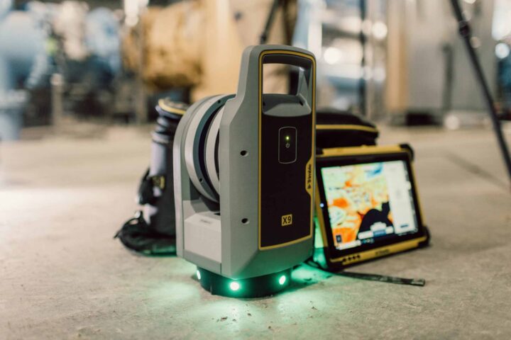
A laser scanning survey uses high-speed laser technology to capture millions of spatial data points from a site, structure, or environment. The scanner measures distances and angles to create a highly detailed “point cloud,” which represents the exact geometry of the surveyed area in 3D.
This process enables surveyors to produce accurate digital representations of:
- Buildings and structures
- Industrial facilities
- Infrastructure assets
- Terrain and landscapes
The data collected can then be processed into 2D drawings, 3D models, or CAD/BIM deliverables for design and analysis.
How Laser Scanning Works
Laser scanning surveys typically involve the following stages:
1. On-site Data Capture
Surveyors position a laser scanner at multiple locations around the site. The scanner emits laser beams that bounce back from surfaces, recording millions of points per second.
2. Point Cloud Generation
The collected data forms a dense “point cloud” representing the exact shape and dimensions of the environment.
3. Data Processing
Specialist software is used to register, clean, and align the scans into a unified dataset.
4. Deliverables
The processed data is converted into usable outputs such as:
- 2D floor plans
- Elevations and sections
- 3D models
- BIM-ready models
- Topographic representations
This allows architects, engineers, and planners to work with highly accurate digital assets.
Key Benefits of Laser Scanning Surveys
Laser scanning offers several advantages over traditional survey methods:
1. Exceptional Accuracy
Laser scanning captures highly precise measurements, reducing the risk of errors in design and construction.
2. Speed and Efficiency
Large areas can be surveyed quickly, often reducing time on-site compared to manual methods.
3. Comprehensive Data Capture
Millions of data points ensure nothing is missed, providing a complete digital record of the site.
4. Reduced Site Visits
Because data is captured comprehensively the first time, fewer revisits are required.
5. Safe Data Collection
Laser scanning can be used in hazardous, inaccessible, or complex environments without direct contact.
6. Versatile Applications
The data can be reused for multiple purposes, including:
- Design and planning
- As-built documentation
- Clash detection
- Renovation and retrofit projects
Applications Across Newcastle, Durham, Carlisle, Northumberland & Cumbria
Laser scanning is widely used across a variety of sectors in Northern England:
Construction & Architecture
- Renovation and refurbishment projects
- Heritage building preservation
- BIM modelling and design coordination
Civil Engineering & Infrastructure
- Roads, bridges, and highways
- Rail infrastructure
- Utility mapping and underground analysis
Industrial & Energy Sectors
- Petrochemical facilities
- Power plants
- Manufacturing plants
Environmental & Land Surveys
- Terrain modelling
- Flood risk analysis
- Coastal and environmental monitoring
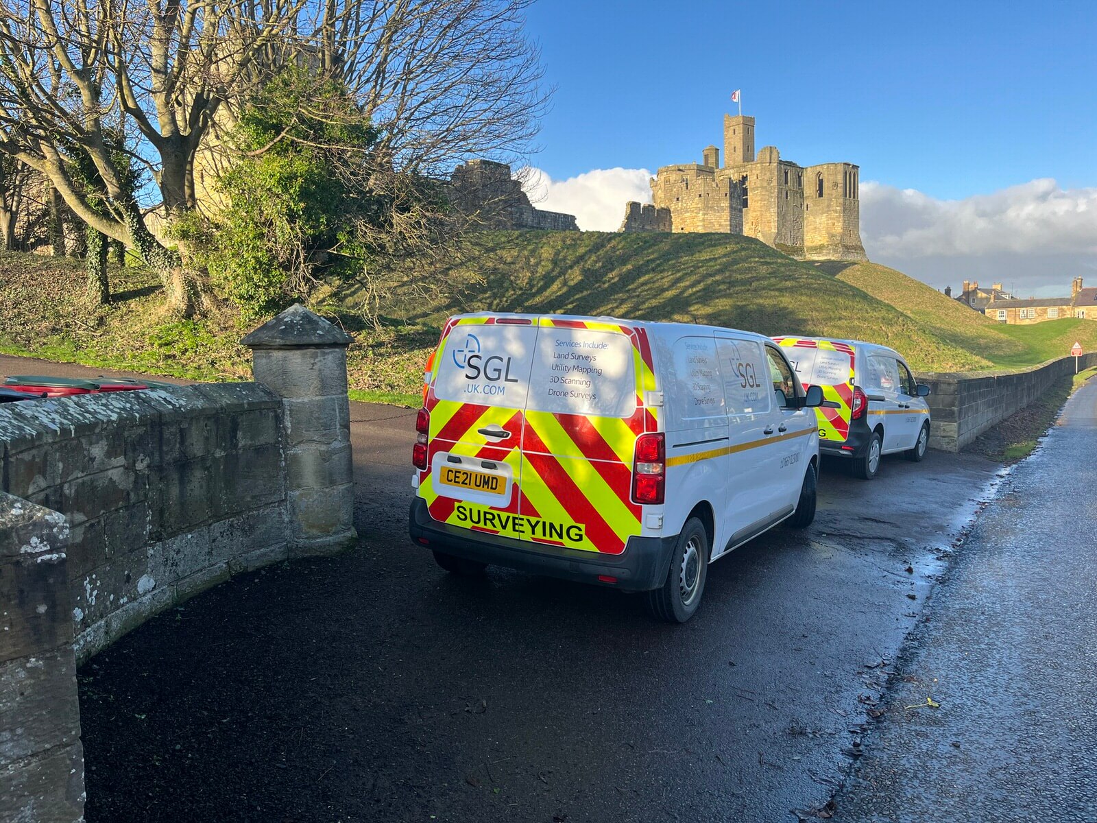
SGL’s nationwide capability ensures these services are available across both urban centres and rural environments throughout the North East and Cumbria region.
Why Choose Laser Scanning in the North East?
Regions like Newcastle, Durham, Carlisle, Northumberland, and Cumbria present a diverse mix of historic structures, modern developments, and challenging terrain. Laser scanning is particularly valuable in these areas because:
- Many sites include complex or constrained environments
- Historic buildings require non-invasive surveying methods
- Infrastructure projects demand high accuracy and coordination
- Remote or rural areas benefit from efficient data capture
Laser scanning ensures that survey data is both reliable and adaptable to a wide range of project requirements.
Deliverables You Can Expect
A professional laser scanning survey typically results in:
- Registered point cloud data
- 2D CAD drawings
- 3D models of structures and sites
- BIM-ready outputs
- Measured building information
- Topographic surface models
These outputs are essential for architects, engineers, planners, and contractors who rely on accurate spatial data for decision-making.
Why Work with Spatial Geomatics Ltd (SGL)?
Spatial Geomatics Ltd combines advanced surveying technology with decades of professional expertise to deliver high-quality results across the UK. Key strengths include:
- Over 35 years of industry experience
- Nationwide service coverage
- Use of advanced robotic and laser scanning equipment
- Fast turnaround and reliable data processing
- Tailored solutions for projects of all sizes
From initial site capture through to final deliverables, SGL ensures accuracy, consistency, and efficiency at every stage of the process.
Conclusion
Laser scanning surveys are now an essential tool for modern surveying, offering unparalleled accuracy, speed, and detail. Whether you are working on a small renovation or a large-scale infrastructure project in Newcastle, Durham, Carlisle, Northumberland, Cumbria, or the wider North East, laser scanning provides the data foundation needed for successful project delivery.
With experienced professionals and advanced technology, Spatial Geomatics Ltd is well-positioned to support a wide range of surveying requirements across the UK. By choosing laser scanning, clients benefit from improved project planning, reduced risk, and highly reliable digital data that supports every stage of design and construction.