Everything You Need to Know About Spatial Geomatics’ Topographic Survey Services in Newcastle and Durham
When embarking on construction, development, or infrastructure projects in Newcastle and Durham, accurate site data is paramount. Spatial Geomatics Ltd offers topographic survey services that provide precise and reliable information for your projects.
What Is a Topographic Survey?
A topographic survey involves mapping the natural and built features of a site, capturing details such as land contours, elevations, vegetation, and existing structures. This data is essential for architects, engineers, and planners to design and plan effectively.
Why Choose Spatial Geomatics?
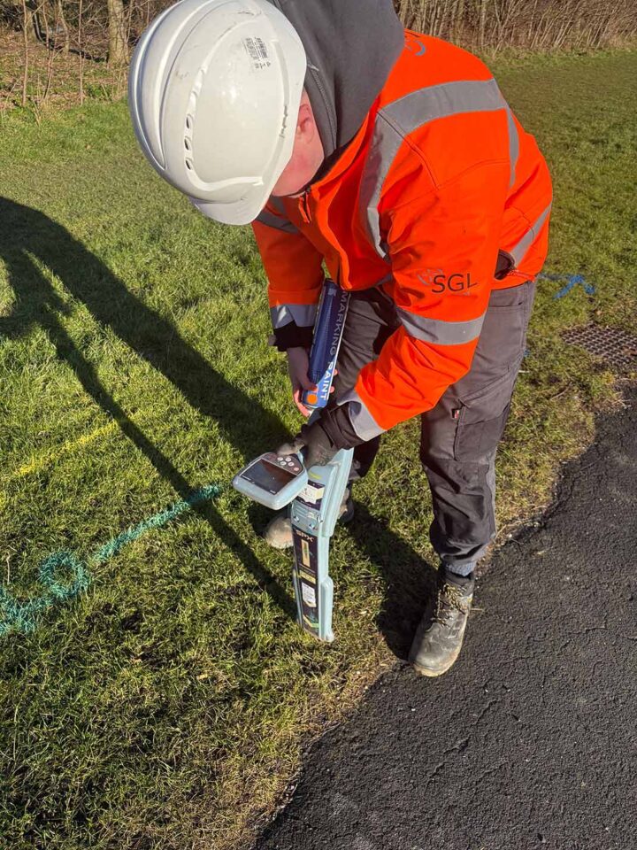
1. Advanced Surveying Technology
Spatial Geomatics employs state-of-the-art equipment to ensure high-precision data collection. Our team utilizes Total Stations, GPS receivers, and Digital Levels, selecting the appropriate tools based on site conditions. For expansive, open areas, GPS technology is ideal, while Total Stations are preferred for urban environments with dense structures or tree cover.
2. Tailored Survey Solutions
Understanding that each project has unique requirements, Spatial Geomatics offers customizable survey services. We collaborate closely with clients to determine the specific data needed, ensuring that the survey outputs align with project goals.
3. Comprehensive Data Outputs
Survey results are provided in various formats, including AutoCAD DWG, Moss MX, and traditional paper copies. Additionally, the data can be processed to create 3D models and contour maps, enhancing the visualization of elevation changes and aiding in detailed analysis.
4. Experienced and Qualified Team
With over 35 years of experience in the surveying profession, Spatial Geomatics’ senior staff bring a wealth of knowledge and expertise to every project. Our commitment to quality ensures that clients receive accurate and reliable survey data.
Applications of Topographic Surveys
Topographic surveys are instrumental in various stages of a project, including:
- Planning and Design: Providing essential data for architects and engineers to develop site plans and designs.
- Construction: Serving as a reference for setting out structures and ensuring alignment with design specifications.
- Environmental Analysis: Assessing land contours and features to evaluate environmental impact and drainage considerations.
- Legal and Compliance: Documenting existing conditions for regulatory approvals and legal purposes.
Serving Newcastle and Durham
Spatial Geomatics is proud to offer topographic survey services throughout Newcastle, Durham, and the wider UK. Our local presence in Newcastle upon Tyne ensures a deep understanding of regional requirements and conditions, allowing them to deliver services that meet the specific needs of clients in these areas.
Get in Touch
For precise and reliable topographic survey services in Newcastle and Durham, contact Spatial Geomatics Ltd. Our team is ready to assist with your surveying needs, providing expert solutions tailored to your project’s requirements.
To learn more or request a quote, visit our Topographic Survey Services page or reach out directly via info@sgl.uk.com.
Ensure your project is built on a foundation of accurate data with Spatial Geomatics’ topographic survey services.